
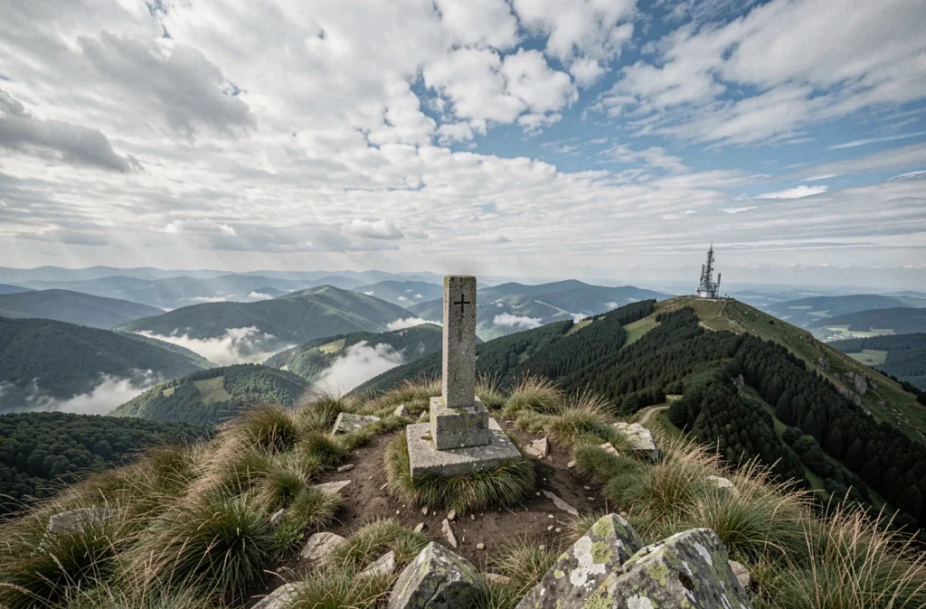
The Grand Ballon is the highest peak in the Vosges Mountains. Before setting out, checking a live webcam seems like a sensible way to assess conditions on the ground. In reality, especially along the ridges, conditions can be very different from what a still image shows. Understanding the limitations of this tool and knowing how to supplement it with other sources of information can make all the difference when planning a hike on the Grand Ballon in Alsace.
What the Grand Ballon webcam doesn’t show on the ridges
An image captured every few minutes gives you a snapshot of visibility and snow cover at a specific moment. It tells you nothing about wind gusts, which can be fierce on the Vosges peaks, or about rapidly changing fog and precipitation.
On the ridges between Markstein and the Grand Ballon, wind can make a hike dangerous even under clear skies. The webcam may show a reassuring panorama that doesn’t reflect the conditions you’ll actually experience on the ground. Météo-France forecasts, which include expected wind gusts at altitude, remain the most reliable complement to the live image.
To get a first-hand view of conditions before setting out, the Grand Ballon d’Alsace webcam provides a useful visual reference, as long as you don’t rely on it alone.
Fog is another blind spot. An image taken from a fixed point can’t tell you whether the fog is moving in or clearing. Along ridge routes, visibility can drop within minutes, turning a waymarked hike into a navigation challenge.
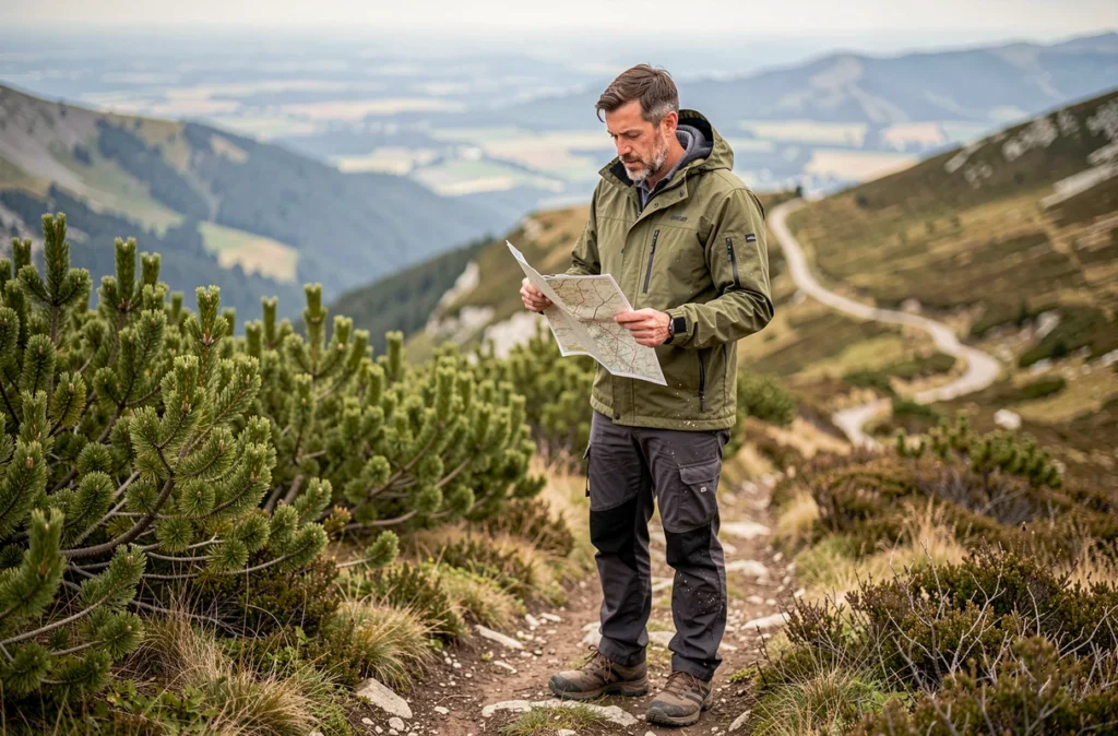
Road access to the Grand Ballon: a factor the webcam can’t show
In winter, the section of the Route des Crêtes between the Col de la Schlucht and the Grand Ballon is closed to traffic. There is no fixed closure schedule published from one year to the next. The access road via Willer-sur-Thur and Goldbach remains the designated winter route, and suitable equipment is mandatory.
Checking road access on the day of your trip is just as useful as checking the webcam. A clear summit in the image doesn’t mean the road to get there is passable. Cameras installed at altitude don’t show icy or snow-covered conditions on the winding approach roads.
During the alpine ski season, the Markstein-Grand Ballon resort publishes its own snow reports and trail conditions. This information complements the live view for anyone planning a trip that combines skiing and hiking in the area.
Quiet zones and access restrictions in the Hautes Vosges
One thing no webcam can show is restrictions designed to protect wildlife. In the Hautes Vosges, certain areas and times of year bring limits on trail access, particularly to protect the capercaillie.
The Quiétude Attitude tool lets you check these zones before planning a route. Detours and temporary closures are only indicated on site or through this dedicated tool. A webcam showing an apparently accessible trail doesn’t guarantee that it’s open to hikers that day.
- Quiétude Attitude: online tool for identifying quiet zones and restricted periods in the Vosges Mountains
- Signs and trail markers on the ground: the only reliable indications once you’re there; follow them even if your original route planned a different way through
- Sensitive periods: mainly winter and early spring, when wildlife is most vulnerable to disturbance
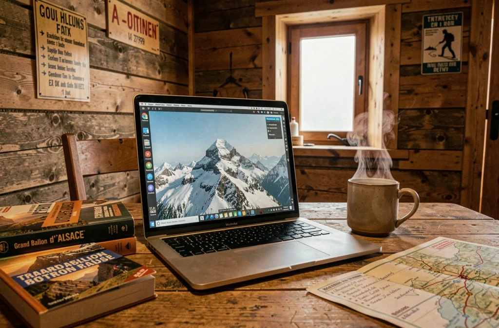
Two waymarked routes to the summit of the Grand Ballon
Two waymarked routes lead to the summit, offering very different hikes in terms of duration and effort. Choosing between them depends on your fitness level and how much time you have—two things a live image can’t tell you.
The route from Glashütte is described as a half-day hike for experienced walkers. It involves a substantial elevation gain, but the duration is manageable for regular hikers. The other route, from the Monument Brun near Linthal, is described as a full-day hike for experienced walkers, requiring greater endurance.
Knowing about both options helps you tailor your hike to the weather shown on the webcam. If the sky starts clouding over mid-morning, the shorter route from Glashütte may be a better choice. A stable, clear day makes the full loop from Linthal a possibility.
Plan your route beyond the webcam image
The webcam is a starting point, not a planning tool. For a hike along the Grand Ballon ridges, checking several sources of information can help you avoid unpleasant surprises:
- Weather forecasts with wind data for higher elevations (Météo-France or specialist mountain weather services)
- Road access conditions, especially in winter when the Route des Crêtes may be closed
- Check Quiétude Attitude for any wildlife-related access restrictions
- Choose a route that matches the time and effort you can manage in the day’s conditions
The live view from the summit gives you a visual indication of snow, visibility and general conditions. It doesn’t replace weather forecasts or a check of road access. Hikers who consult these sources before setting out get a much more complete picture than the static view from a camera pointed toward the Alps.